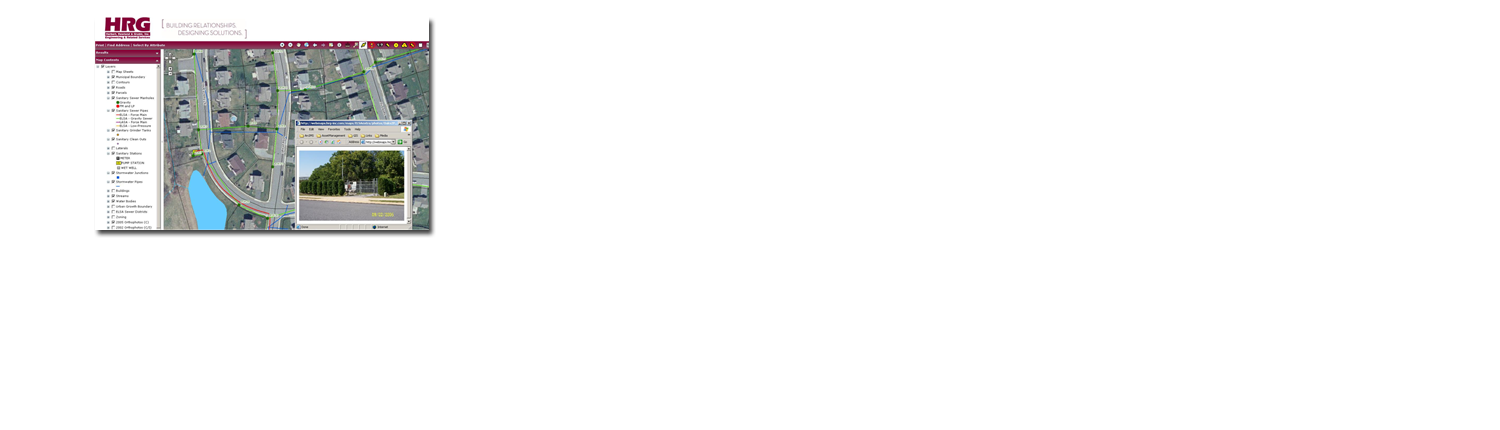
HRG developed a Geographic Information System (GIS) for East Lampeter Township’s public sanitary and storm sewer infrastructure networks. The project included Real Time Kinematic (RTK) GPS and conventional survey feature data collection. Mobile GIS technology (i.e., ArcPAD and ArcGIS Desktop (ArcVIew) on a tablet PC) were used for feature attribution and network development in the field.
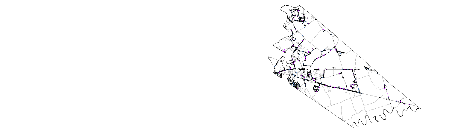
To date, HRG’s survey crews have collected over 4,500 utility features. Survey efforts included sanitary sewer features such as manholes, grinder tanks, clean-outs, and pump stations and storm water features such as manholes, inlets, outfalls, and culverts. Field inspections were completed to collect sanitary sewer manhole inverts and pipe sizes and types, and stormwater inlet and manhole inverts, and outfall sizes, types and elevations, to meet/exceed compliance with the Township’s Municipal Separate Storm Sewer System (MS4) project.
A final ESRI geodatabase was delivered to the Township for incorporation into their GIS and connected to a standalone asset management database for extended infrastructure management capabilities. An ArcGIS Server web-based application was also developed to enable Township staff and public works crews to access the data remotely and without standalone desktop software.
The final utility networks were incorporated with Lancaster County’s GIS basemap information (parcels, roads, streams and orthophotography) to develop the final deliverable project for digital analysis within the Township’s GIS.